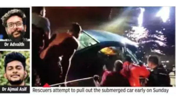
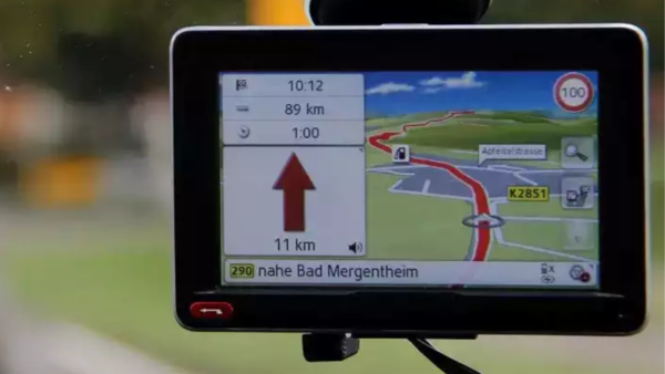
It was heavily raining, dark and the road was unfamiliar the doctors were using GPS to navigate. The GPS showed a river as a flooded road and as the map pointed straight they drove ahead and the car started to sink. Three others managed to escape and were rescued but unfortunately, it was too late for the two young doctors. One of the survivors has revealed that the accident occurred after GPS misguided them.

File photo/TOI
According to local police and Ashok Ravi, senior manager of Kodungallur CRAFT Hospital where the doctors worked, Dr Gaziq Thabseer, one of the survivors, revealed that the accident occurred after GPS rerouted them. “Yes, we were using GPS. However, since I was not driving, I can’t confirm if it was a technical glitch of the application or a human error,” told TOI.
Speaking of the five people travelling in the car, Dr Ajmal was from Thrissur district and Dr Advaith was from Kollam. Three others who survived the incident are Jismon, Tamanna and Dr. Thabseer, who works in the cardiology department of CRAFT Hospital. Jismon is a nurse in the hospital and Tamanna is an MBBS student in Palakkad. All three have been admitted to a hospital in Kocia and Dr Advaith’s mortal remains were shifted to Kalamassery Medical College and Dr Ajmal’s body was moved to Thrissur Medical College for autopsy.
This is not the first time that this kind of incident has occurred. Many people have lost their lives and have been injured after the vehicles land straight into the water after following the GPS.

GPS (Global Positioning System) and Navigation are not always accurate due to satellite signal blockage from bridges, trees, buildings, etc. The users are often misled due to faulty mapping software, incorrectly drawn maps, weak signals and much more. The GPS has different route data for pedestrians, two-wheelers and cars. One has to choose which mode of transportation while using the navigation, if you use pedestrian and two-wheeler options, GPS shows small roads where the bigger vehicles such as Cars and SUVs cannot easily pass.
The GPS and Navigation systems use the Global Navigation Satellite System (GNSS) network to pinpoint the location of your navigation device on your phone or your car. The system further communicates with these satellites via microwaves and displays the vehicle’s location on the map.

