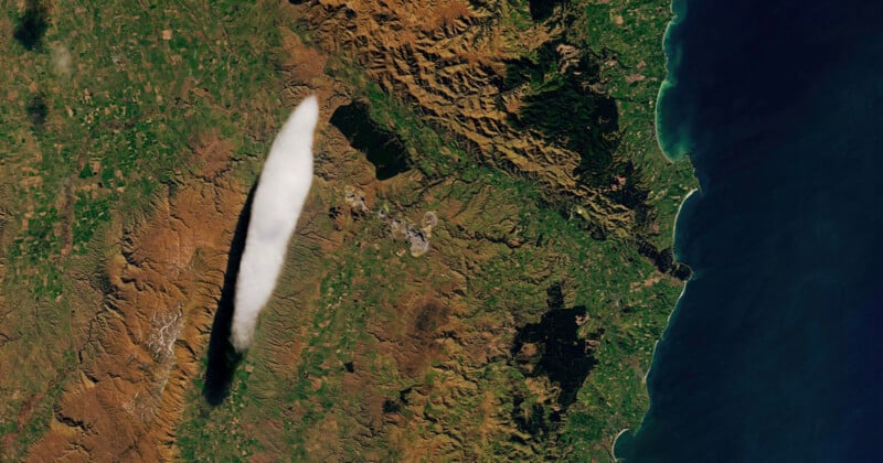
A cloud that periodically appears in the exact same spot in New Zealand has been captured by a NASA satellite.
Known locally as the “Taieri Pet”, the seven-mile long cloud was first reported in 1896 and has appeared continually above mountains in Otago, a region on New Zealand’s South Island. Locals there gave it the name because they feel as it’s their pet cloud that only appears in their area.
Taieri Pet is a lenticular cloud that forms in the troposphere, the lowest layer of Earth’s atmosphere. It was spotted by NASA’s Landsat 8 satellite on September 7, 2024, resulting in a beautiful image with the sausage-shaped cloud contrasted against the earthy colors of New Zealand.
But locals in the area have long been aware of Taieri Pet with John Law, a meteorologist at New Zealand’s MetService telling the NASA Earth Observatory that it is “a common feature found in the skies near Middlemarch, Otago.”

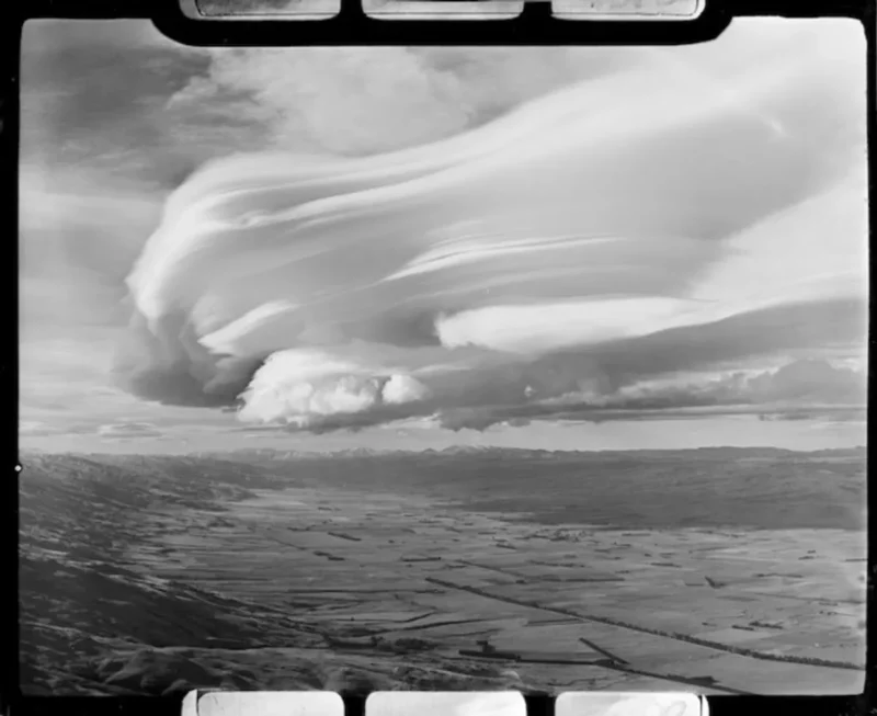
Lenticular clouds are known for their curved, flying saucer-like appearance; in fact, they are sometimes mistaken for UFOs.
They are usually found floating over a mountain top or mountain ridge because when air flows over the mountain tops, it provides enough cooling to reach saturation and for a cloud to form. This means that air is constantly flowing through it.
In the case of the Taieri Pet, the topographical blockade is the Rock and Pillar Range in Otago, which runs perpendicular to strong winds from the northwest. The mountains obstruct the movement of air, forcing the wind to ascend and pass over them, forming a wave. At the wave’s peak, as humid air rises and descends, its water vapor condenses to form clouds. The cloud remain stationary because the airflow continuously supplies them with moisture.
The strong winds carve the cloud which gives it a distinctive, smooth appearance. Some observers have described them as a “huge stack of pancakes” that hover in the same spot. But that stillness is deceiving because the “appearance of the Taieri Pet is a great indicator of strong winds high in the atmosphere,” Law tells NASA Earth Observatory.
“As the cloud forms on the crest of this wave, it remains almost stationary in the sky and is shaped by the strong winds blowing through it,” Law adds.
Lenticular clouds also pose a threat to pilots as planes can suffer severe turbulence when flying through.
Image credits: NASA/Lauren Dauphin; USGS
