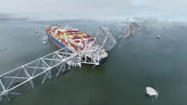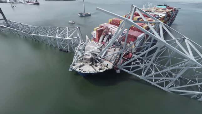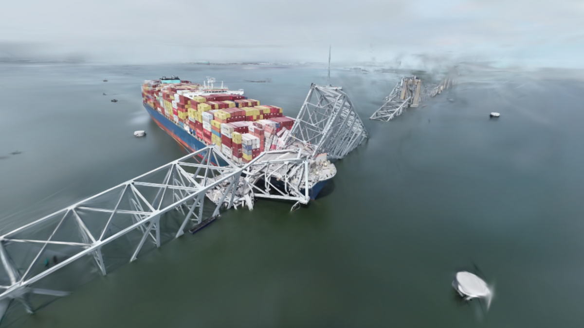
Baltimore’s Francis Scott Key Bridge collapsed in March after it was hit by a cargo shop that lost power. The strike from the ship brought the towers of the bridge crashing down and left the Dali cargo ship stuck under thousands of tons of metal. Since then, regular people haven’t been allowed to get up close over safety fears. However, a new AI-generated image lets you explore the wreckage in insane detail.
When the bridge collapsed on March 26, the Dali cargo ship became a staple on the Baltimore skyline after it was jammed in place by the bridge’s superstructure. Following the collapse, some people attempted to get up close to see the remains of the bridge in person, but were (quite rightly) turned away from the scene.
Now, using a drone and a technology called gaussian splatting, a high-resolution 3D image of the bridge has been created for you to explore from the safety of your living room.

The model, which can be viewed on voluma.ai right here, was created after someone flew a camera drone over the crash site. Footage from that flight was then fed into a plotting tool, which translates the video footage into a 3D model of the scene.
The scene was created using tech that was originally developed for video game rendering in the 1990s. Now, gaussian splatting is used to quickly and efficiently plot real-world scenes captured on video. It means that there’s now no need to hop from point to point as you would with something like Google’s Streetview, and instead recreates the space so you can seamlessly explore.
With the Baltimore bridge scene you see here, this means you can zoom up close to see the collapsed bridge supports, or attempt to count how many containers remain on the ship. It’s a fascinating scene to explore in this way, and shows how handy this tech will be to surveyors or safety inspectors following similar disasters in the future.
If you want to explore the 3D model of the Francis Scott Key Bridge, head here.

